

Interactive tools for mobility analysis
Explore 15-minute city accessibility, shared mobility data, and more with our open-source tools.
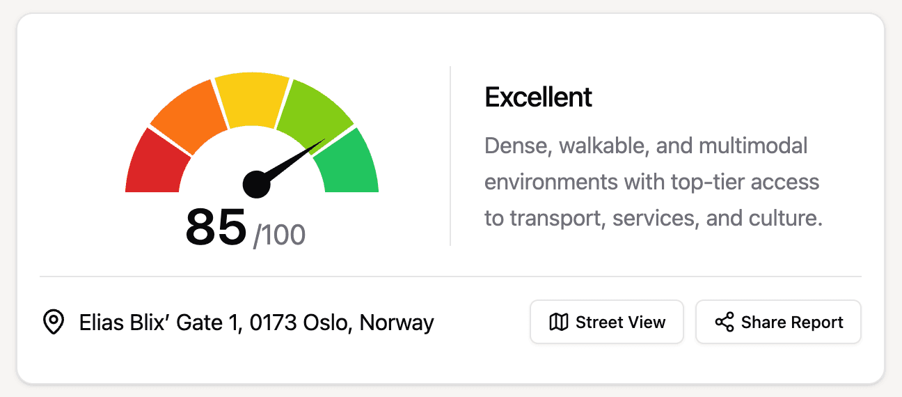
Mobility Index
Explore 15-minute city mobility analysis. Understand how accessible your neighborhood is by foot, bike, and public transit.
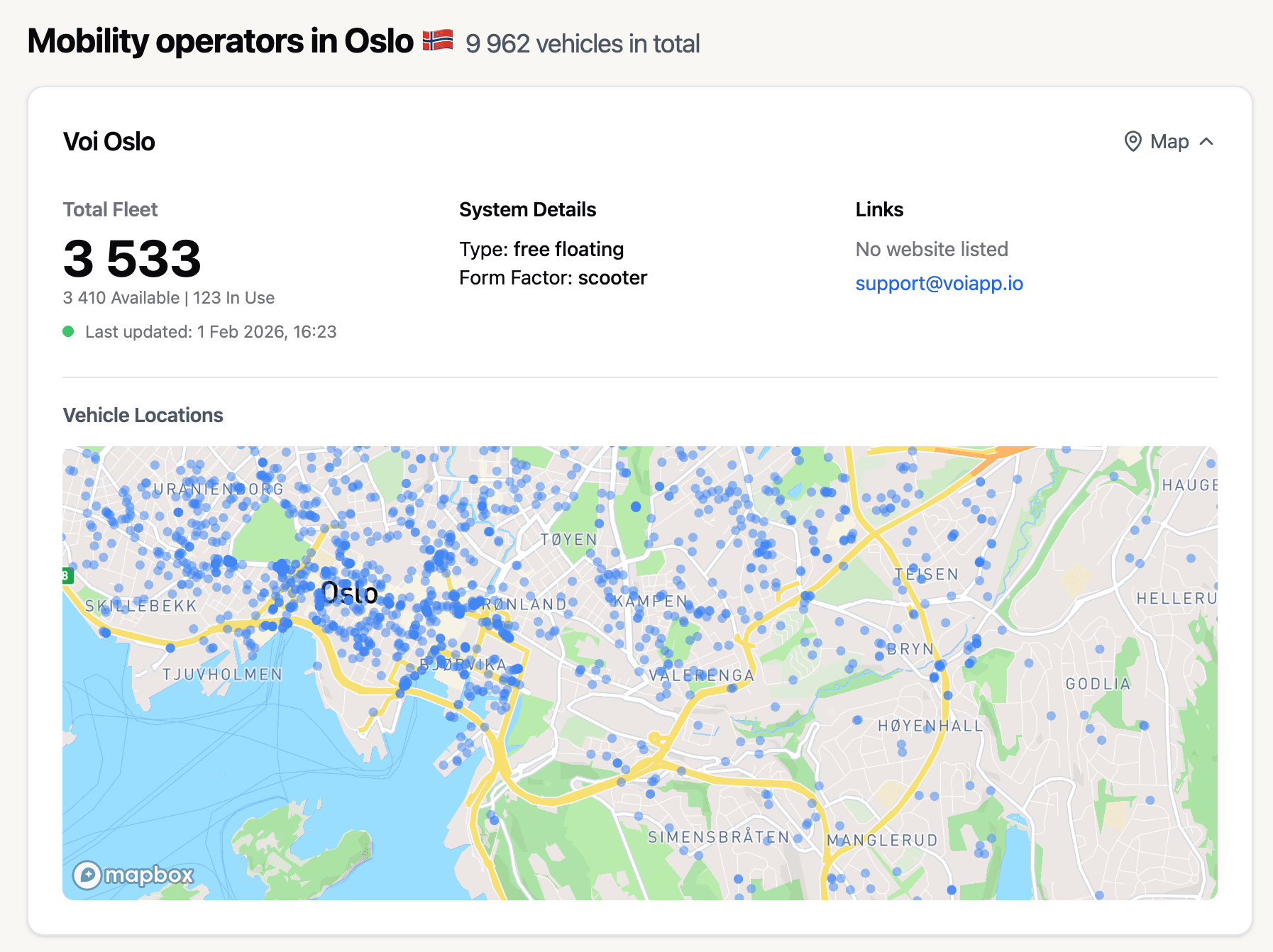
GBFS Explorer
Explore shared mobility data feeds. View real-time availability of bikes, scooters, and other shared vehicles.
Coming soon
AutoAtlas
An object recognition model trained to identify parked cars from aerial imagery.
Coming soon
Carpool Insight
Identify areas with low public transport coverage and high carpooling potential.